Monday, August 15, 2011

Scarecrows

Last time I was out cycling, I noticed these scarecrows from up the road. However it had started to rain, so I didn't have a chance to come check them out.
The weather was great today, though, so I came to see what was going on. Apparently it's part of a "Rural Community Improvement Project" and so they've put up about 40 scarecrows around a couple of the rice fields.
I'm not sure if it's supposed to be a tourist attraction, or if it's just to convince the locals that living in the sticks isn't so bad, and no, they don't have to move to the big city for entertainment.
Notice the one in the middle has a (real) handbag.
This one looked particularly dangerous.

Sunday, August 07, 2011

Cycling around Donghae

I finally bought my first road bike in Korea about a month ago. I'd been reluctant because there are so many idiot drivers here, but so far, I haven't been hit. I don't like cycling in town, but within 20 minutes it's pretty easy to get away from all the traffic.
I'm heading to Taiwan at the end of August and I'm cycling up the east coast, so I've been trying to get out at least once a week to get into cycling shape. Yesterday I headed up to what is as close to a lake as we've got in this area (it's a reservoir). The weather was beautiful, but going up hill in this heat is quite tiring.
Further up the "lake" there was a little rest stop with a couple of benches and 2 of these wooden carvings. You see these guys all over Korea, but I can't remember what they're supposed to represent.
On the way back down (which was way more fun than going up), I stopped to take this picture of all the rice fields. Almost every piece of land that you see in Korea that's relatively flat has some kind of crop growing on it. But because the country is so mountainous, they can't use all the big machinery they use in North America, so a lot of it is still done by hand.

Friday, July 22, 2011

Another trip up Mureung Valley

I haven't blogged anything for a very long time, so I decided to finally get off my ass and post something.
The weather was looking good for today so my friend and I headed up to Mureung Valley to go for a hike. Considering it's still the rainy season, the weather was unusually good today. It was sunny, not too hot, and not too humid, so we made it to our destination half way up the mountain relatively easily, and not completely drenched in sweat.
We stopped to have a bite to eat and relax for a while at my super secret waterfall, but unfortunately her big head is blocking it.

Wednesday, February 23, 2011

The Bitches

While in Jeju City on Jeju Island I was wandering around the City Hall area looking for a place to eat when I came across this restaurant/pub. Unfortunately, it wasn't open for the day yet so I went for Indian instead.

Saturday, February 12, 2011

Safety First!

Because a lot of the apartment buildings in Korea have very narrow halls (and often, like mine, no elevators) it's very common for Koreans to use trucks like these when they move to get their stuff in and out.
However if you look at the guy at the top on the small platform with the tabletop, you'll notice there's no guard rail and he doesn't have any kind of safety harness. He's 5 floors up. If anyone bumps him or the truck, or if he slips, he's falling to his death. And yet every time I've seen these trucks (I see them at least a few times a month) I've never seen them with safety equipment. These guys are nuts.

Snowstorm

It started snowing Thursday in the middle of the night and kept going for the next 36 hours. It's stopped now, but they're predicting a lot more on Monday. We've got over a meter now, and the city's pretty much shut down.
I went for a hike yesterday when we only had about 50 cm and it was a little difficult to walk but not too bad.
I went out again today and it was crazy. I had to clear a path with my arms first and then step forward, then repeat. I went up towards the mountain and it probably took me an hour to go about 200m. But I had fun and got a ton of exercise.

Here you can see some of the bamboo trying to break free of the crushing snow load.


A bunch of finches (?) waiting out the storm.

Sunday, February 06, 2011

Lunar New Year

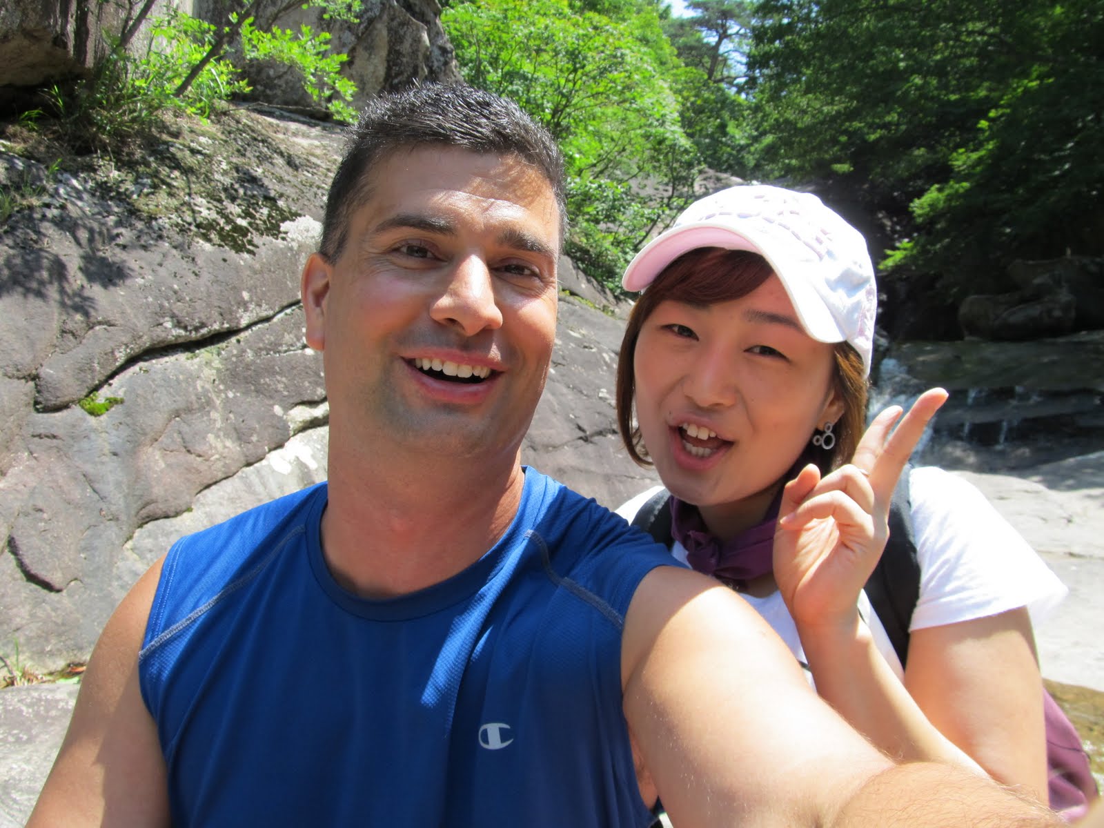
Well Asia just finished celebrating the Lunar New Year, so I ended up with a 5-day long weekend. I bussed it down to Busan and hopped on a nice short flight (only 50 minutes!!!) to Jeju Island, a huge island (by Korean standards) off the south coast. I knew it wouldn't be hot, but I knew it would be 5 to 10 degrees warmer than my place, which was good enough.
Due to travel time, effectively I had 3 days so my plan was to spend the first two hiking on the Jeju Olle Trails, a system they started to put together a couple of years ago to attract more tourists. They've got almost 20 different routes now, and they're designed so that most of them are connected end to end, allowing you to almost circumnavigate the whole island. Most of the stages take 6 to 8 hours, so that's a lot of hiking. I had no interest in hiking the whole island (nor the time) but I thought it'd be a good way to see some nice scenery.
I started out on the southwest coast at Sanbangsan, a mountain with a temple on the side of it (including laughing Buddha, above) and some kind of shrine in a cave in the middle of it.

At the same temple, I took this picture of these gold wheels, which I think are Tibetan in origin, but I really have no idea.
Heading down from the temple to the Yongmeori Coast gives some amazing views of the sandstone cliffs, and because I got there early, I basically had it to myself. The water was an amazing blue, but unfortunately as it's early February, it's still way too cold to swim in.
I then started hiking on Jeju Olle Trail 9 in the reverse direction (the trails are set up to be walked in a clockwise direction around Jeju). I figured it'd be just as easy as walking in the proper direction, but apparently I was mistaken. The signs are placed where people going the right way will easily see them, so I missed a lot of the markers but I still had a great time. This is one of the beaches I hiked along, looking back towards the Yongmeori Coast, above.
I don't know what kind of bird this is, but there were quite a few of them on the south coast of Jeju. Kind of similar to a robin but with the blue-gray instead (and robins don't usually look like they want to kick my ass).

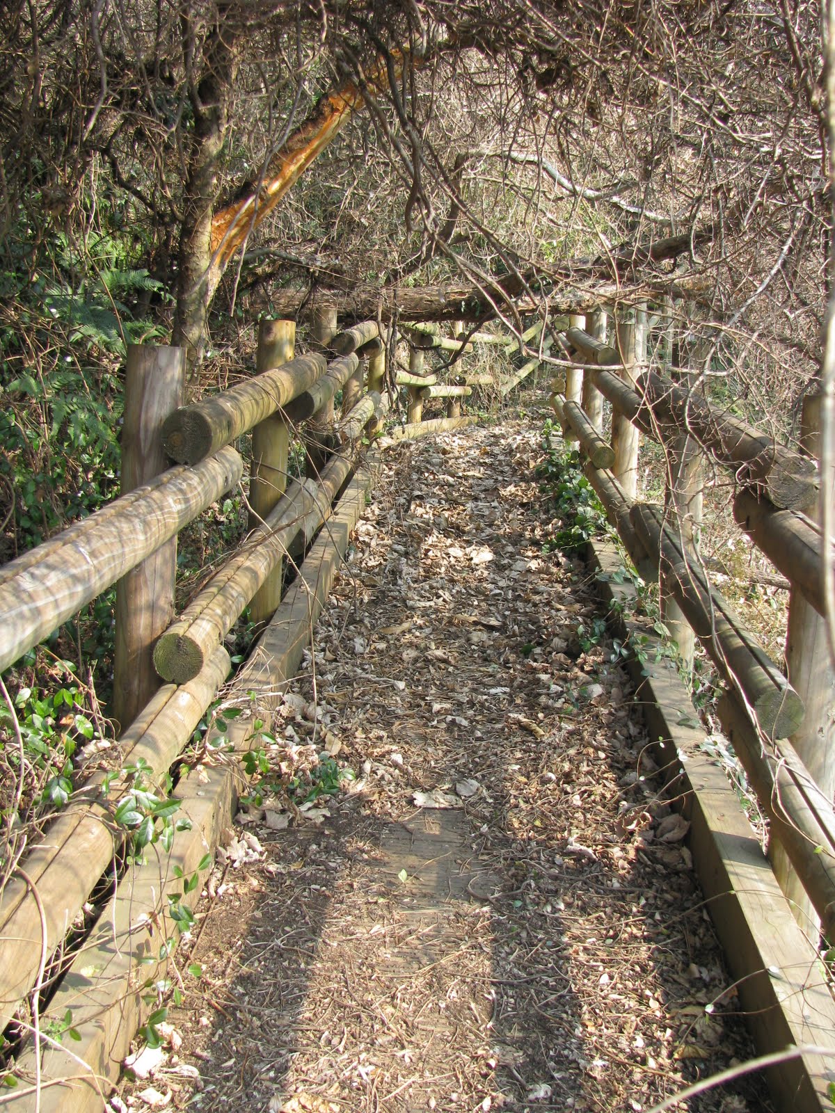
From the beach I headed inland into the Andeok Valley. I got lost again, and came across this trail that looked quite new, but was overgrown so hadn't been used for a while. It took me down to a nice creek with a little waterfall.

As I got closer to my base in Seogwipo, I was able to take some pictures of snow-covered Hallasan, the highest mountain in South Korea. However it was pretty hazy, so it's difficult to see it behind this rock wall.

Sunday, December 19, 2010

Gunung Kinabalu

After a great time on the Sungai Kinabatangan, I hopped on a bus and headed inland to the tiny mountain town of Kundasang. Kundasang serves as the base for the nearby Kinabalu National Park, home to Gunung (Mount) Kinabalu, the tallest mountain in Borneo at 4,095m.

I planned to do some hiking in the Park, but although climbing the mountain is quite popular (and very expensive due to the fees and the hiring of mandatory, but unnecessary guides), I had decided just to do some day hikes around the main park office.

My main concern about climbing to the summit was altitude sickness. I've climbed Mt. Fuji twice, and although about 300m lower at 3,776m, I got altitude sickness both times. For me it meant a pounding headache and being even more irritable than usual.

I had a nice time hiking around the park office as the trails were deserted (everyone comes to do the summit), and although I didn't see much wildlife, just some birds and butterflies, it was great hiking at 20 degrees with no humidity.
While walking on one of the roads near Kundasang I came across this car jacked up while awaiting a new tire. Apparently just leaving it in the middle of the road is okay here.